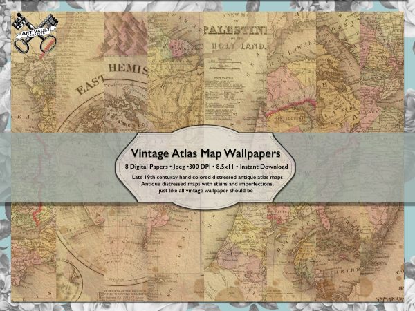
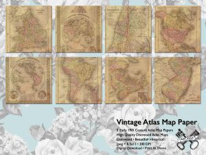
Vintage Atlas Maps Paper Pack. Historically accurate, beautiful hand colored maps from a bygone time. Great for scrapbooks and Journals. The lines on the maps may shift over time but their beauty is forever.
| Product Price | $5.00 |
Product Description
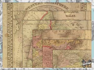
The Vintage Atlas Maps Paper Pack These historically accurate vintage atlas maps are distressed and messy. They have imperfections and stains. They were originally printed in 1890 and were taken from Mitchell’s new general atlas. They are beautiful hand colored maps from a bygone time. As times go on and boarders change these amazing maps remind us of our history. They are distressed and shabby chic. with a weather and used look and feel. They have imperfections just like antique paper. They are lovely and can be used in so many applications. As gift wrap, in scrapbooking, for decoupage, as junk journal pages. For almost any kind of craft project. You can use these commercially or for personal projects.
10 high resolution (300 dpi) JPG files. The Vintage Atlas Maps Paper Pack can be printed on a standard US Letter (8.5”x 11”) They measure 8.5 x 11 Each. No watermarks will not be on the files you receive
INSTANT DOWNLOAD: The files will be available to download once payment is confirmed. You’ll get a download link by email
